Empower Your Community
Do you want to harness the power of maps to solve real-world public health issues? This fully online, hands-on course teaches you how to use ArcGIS Online, the leading platform in Geographic Information Science (GIS), to analyze, visualize, and share spatial data.
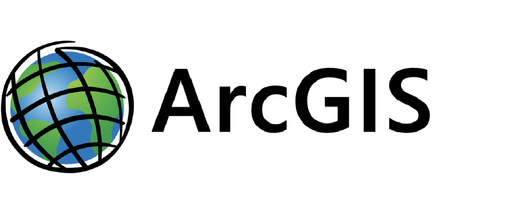
Using ArcGIS Online, a leading Geographic Information Science software, you will learn how to conduct location-based analysis specifically applied to public health.
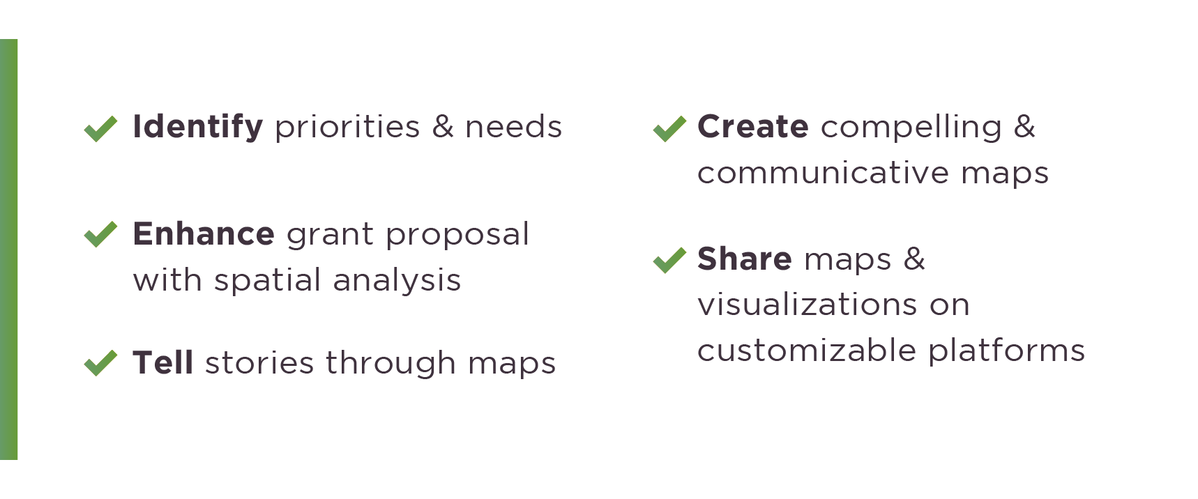
Why Take this Course?
- No Cost to You:
We are committed to making information accessible. This training program and all supplemental materials are provided at no cost.
- Access Health Data:
This training provides you and your organization with access to ArcGIS Online and location-based data.
- Get a Certificate:
Training participants will receive a final certificate along with a skill set that will set them apart in their organization. They will also earn additional certificates by completing course assignments.

Click below to learn more about the Mapping Public Health course and sign up.